The unofficial BC Travel & Tourism Guide

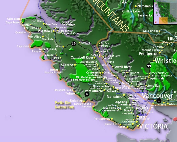
Communities Vancouver Island and Gulf Islands
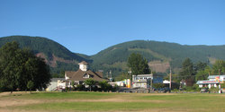
Campbell River
Comox Valley
Black Creek
Comox
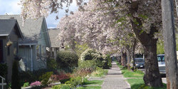
Courtenay
Union Bay
Cowichan Valley
Chemainus
Cobble Hill
Cowichan Bay
Crofton
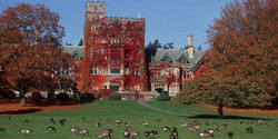
Duncan
Maple Bay
Honeymoon Bay
Ladysmith
Lake Cowichan
Mill Bay
North Cowichan
Shawnigan Lake
Gold River
Johnston Strait
Gilford Island
Lighthouse Country
Bowser
Deep Bay
Qualicum Bay
Mt. Washington Alpine Resort
Comox Valley
Black Creek
Comox
Courtenay
Union Bay
Cowichan Valley
Chemainus
Cobble Hill
Cowichan Bay
Crofton
Duncan
Maple Bay
Honeymoon Bay
Ladysmith
Lake Cowichan
Mill Bay
North Cowichan
Shawnigan Lake
Gold River
Johnston Strait
Gilford Island
Lighthouse Country
Bowser
Deep Bay
Qualicum Bay
Mt. Washington Alpine Resort
Nanaimo
Lantzville
Yellow Point
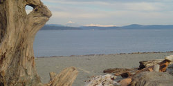
Northern Gulf Islands
Alert Bay
Cortes Island
Denman Island
Hornby Island
Quadra Island
Parksville
Errington
Nanoose Bay
Port Alberni
Port Hardy
Port McNeill
Qualicum Beach
Quatsino Sound
Port Alice
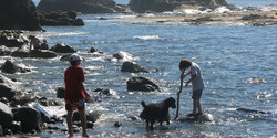
Southern Gulf Islands
Gabriola Island
Galiano Island
Mayne Island
Village Bay
Pender Island
Pender Island North
Pender Island South
Salt Spring Island
Lantzville
Yellow Point
Northern Gulf Islands
Alert Bay
Cortes Island
Denman Island
Hornby Island
Quadra Island
Parksville
Errington
Nanoose Bay
Port Alberni
Port Hardy
Port McNeill
Qualicum Beach
Quatsino Sound
Port Alice
Southern Gulf Islands
Gabriola Island
Galiano Island
Mayne Island
Village Bay
Pender Island
Pender Island North
Pender Island South
Salt Spring Island
Fulford Harbour
Ganges
Long Harbour
Vesuvius
Saturna Island
Thetis Island
Tahsis
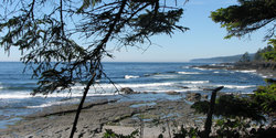
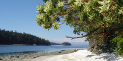
Tofino - Ucluelet - Pacific Rim
Bamfield
Tofino
Ucluelet
Victoria
Central Saanich
Brentwood Bay
City of Victoria
Colwood
Esquimalt
Fernwood
Highlands
Langford
Metchosin
North Saanich
Oak Bay
Saanich
Sidney
Sooke
View Royal
Ganges
Long Harbour
Vesuvius
Saturna Island
Thetis Island
Tahsis
Tofino - Ucluelet - Pacific Rim
Bamfield
Tofino
Ucluelet
Victoria
Central Saanich
Brentwood Bay
City of Victoria
Colwood
Esquimalt
Fernwood
Highlands
Langford
Metchosin
North Saanich
Oak Bay
Saanich
Sidney
Sooke
View Royal
Vancouver Island and Gulf Islands